| |


Pannon O-Days
| Competition name | Pannon O-Days |
| Start date | 20110729 |
| End date | 20110731 |
| Country | Hungary |
| Race type | International |
| Nearest place or city | Bakonybél |
| Club/organizer | OC Veszprém |
| Region of country | Veszprém county |
| Number of competition days | 3 |
| Expected number of runners | 500 |
| WRE event? | No |
| URL for event homepage | [Link] |
| Get list of related events: | - Within 100 kilometers and +/-14 days - Within 500 kilometers and +/-14 days - Within 500 kilometers any time - All events within +/-14 days |
| Corrections | Make corrections for this event  |
| URL for invitation | [Link] |
| Contact email address | peter@veszcart.hu |
| Contact phone number | +36304746498 |
| Contact postal address | H-8200 Veszprém, Vécsey u. 5. |
| Max distance from eventcentre to competitions | 0 m |
| Latest entry date | 2011-07-16 |
| Entry fee (Euro) | 20 EUR/3 days |
| Typical accomodation fee, hotel (Euro) | 20 |
| Typical accomodation fee, tent (Euro) | 4 |
| Event description | Three days o-event: 1st day short distance, 2nd day classic distance, 3rd day classic distance with chasing start. Accompanying events: mikrosprint, beer relay. |
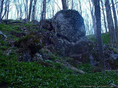
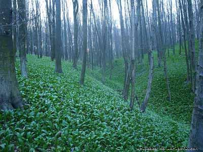
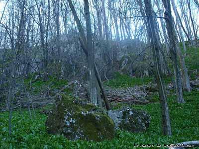
| Terrain description | 1st day: mostly open area at 270-350 ms asl with lot of vegetation features (bushes, single trees). 2nd&3rd day: easily runnable forest at 250-520 ms asl; some places steep climbs and rock forms; typical objects of hunting and foresting activities can be found. |
| Holiday activities,nature,hiking etc. | Lake of Balaton - http://www.balaton.hu (50 kms) Zoo of Veszprém - http://www.zoo.hu/veszprem (35 kms) Historical downtown of Veszprém - http://www.veszprem.hu (35 kms) Historical downtown of Pápa - http://www.papa.hu (30 km) Museum of Blue Dyeing in Pápa - http://www.kekfestomuzeum.hu (30 km) Herend Porcelain Museum - http://museum.herend.com/hu/latogatas (30 kms) Arboretum of Zirc - http://www.bfnp.hu/magyar/oldalak/magas_bakony_zirci_arboretum (15 kms) Natural History Museum of Bakony Mountains, Zirc - http://www.bakonymuseum.koznet.hu (15 kms) Tower at Kőris-hegy (highest point of Bakony Mountains) - http://www.bakonybel.hu/korishegy (6 km) |
| URL for results | [Link] |
| Add to your calendar | 
 |
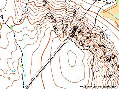
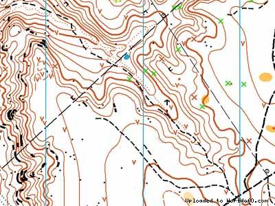
Map samples
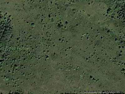
Terrain and scenery images